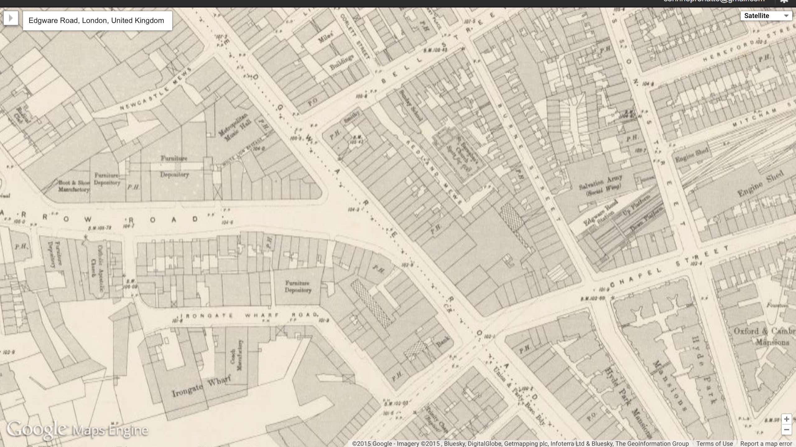
This is a screenshot from google maps of Edgware road, the address mentioned in “Scandal in Bohemia,” only briefly, in a single sentence spoken by Irene Adler’s fiancee in the cab that was taking them to the church. Edward road was indeed the location of the chapel where Godfrey and Adler tied the knot, with a priest and Sherlock, who was disguised as a peasant to be the witness.
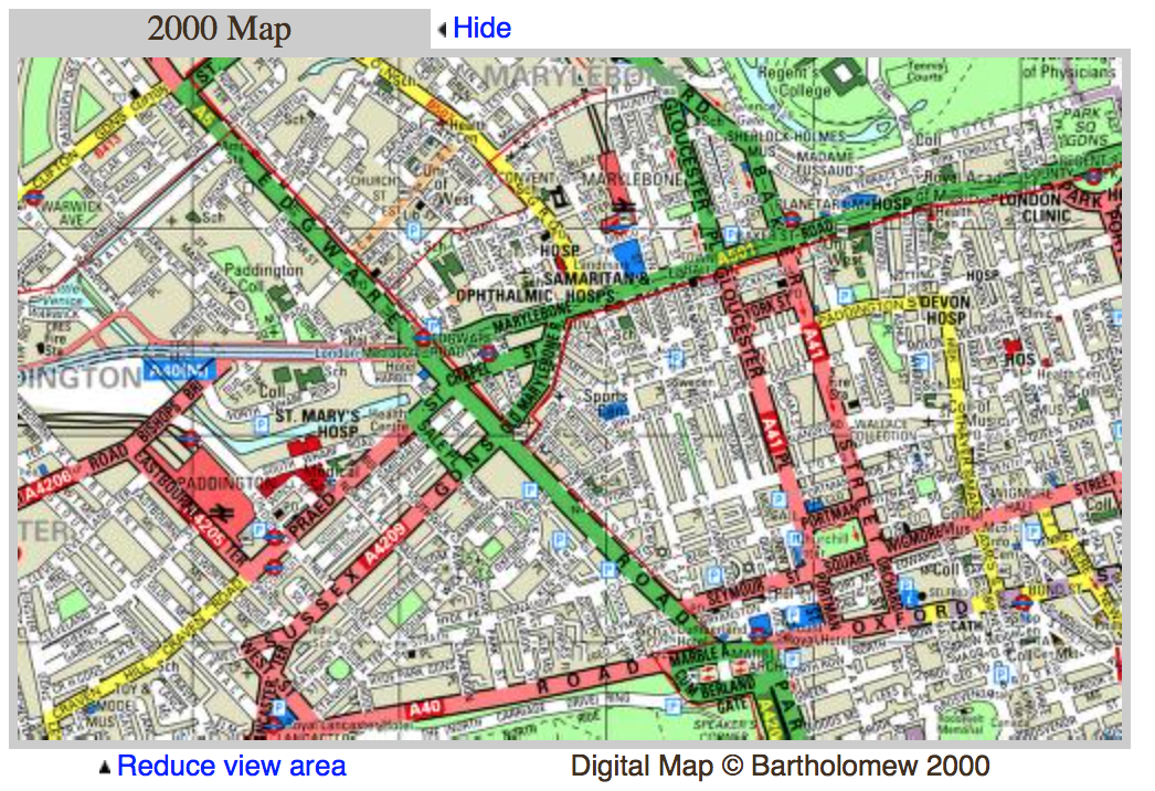
These maps of the same area, in the present (left), and the victorian period (right) display Edgware Road (hi- lighted in green on the left) was a main road from Charles Booth Online Archive. According to this archive, the area surrounding the street is marked with quite a bit of red, or “well to do” according to The Booth archive. just like the story states, this is quite a ritzy area and Irene was married in an extravagant chapel. Irene being a woman of class and taste, this location reflects accurately upon her standards. According to “Locating London,” the area around Edgware street was famous for having many churches (which is fitting for the role the street plays, being where the church Irene is married in is located). According to old bailey online archive, there was not a ton of violent crime, not a very dangerous area. The occasional theft is what is shown in the archive’s records. an interesting fact about Edgware Road is that at the end of the Victorian period it became a highly populated jewish area, with the building of many synogogues at the end of the era, according to the Booth online archive and Locating London.
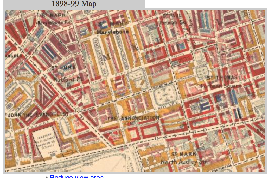
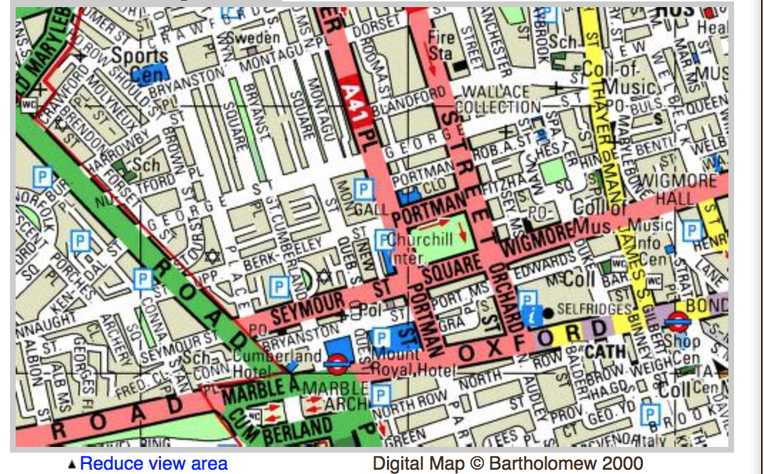
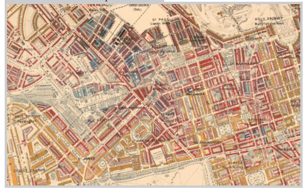
these more close-up images go more in-depth with the exact neighborhood wealth statuses, yellows (upper-class/ wealthy), pinks (comfortable/good earnings), but mostly reds in the neighborhoods branching off of and surrounding the street.