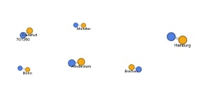
After many thoughts about what to chart and map using the Google Fusion service, I decided to document some of the cities I visited this past summer during my study abroad adventure in Germany. I mapped the various cities and their populations. I was curious to see how many people live within each city after visiting and experiencing them. Each category links to the original charts.
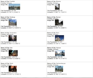
Here is an overview of the ten cities I visited or traveled through. I included the city name, country, an image, and the geographic location with latitude and longitude coordinates.
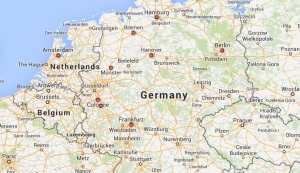
Below is a physical map that highlights each of the cities.
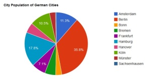
This pie chart demonstrates the city populations.
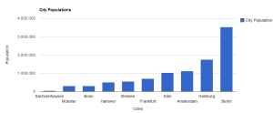
This graph also charts city populations ranging from smallest city to largest.
This network visualization shows the relationship between each city and its population.
Erica Gedney
