
In A Case of Identity, Sir Arthur Conan Doyle mentions Fenchurch Street in terms of the location of Westhouse & Marbank, the great claret importing company Miss Sutherland’s stepfather worked for. While it’s mention was brief, I found that the street was incredible close to Leadenhall Street, the street the supposed fiancé worked on. Given the fact that the stepfather was in fact the fiancé, the close location of the street potentially explains why the stepfather chose the street.

I first decided to look at Charles Booth’s survey work to see what type of poverty classifications existed on the street. The area seemed to be populated by the poor, 18s. to 21s. a week, as per Booth’s classification system (Charles Booth Online Archive). Large portions of the street appear without a classification, which could suggest that it was largely office space, shops, or some other types of non-residences.
Looking at Old Bailey court records, there were 91 hits with crime locations on Fenchurch Street from 1700 to 1819, only 4 of which were not theft or violent theft (Locating London: Old Bailey Proceedings). While the street had a problem with crime, 91 reports in 119 years is not all that indicative of a crime issue. It seems to suggest that theft was an nearly regular occurrence, but poverty has been known to increase stress and that can lead to increased cases of theft and crime.
From British Histories, I learned that Fenchurch Street got its name from the marshy ground on the banks of Langbourne. It once held Denmark House, the residence of the first Russian ambassador in England, and also the residence of the Earls of Northumberland. In the Middle Ages, it was home to the Ironmongers’ Hall that supposed iron to a vast area of England (“Cornhill, Gracechurch Street and Fenchurch Street”).
Works Cited
‘Cornhill, Gracechurch Street, and Fenchurch Street’, Old and New London: Volume 2 (1878), pp. 170-183. Web. 8 November 2014.
“Fenchurch Street.” Charles Booth Online Archive: Booth Poverty Map. London School of Economics and Political Science. Web. 9 November 2014.
“Fenchurch Street.” Locating London. Locating London’s Past. Web. 9 November 2014.
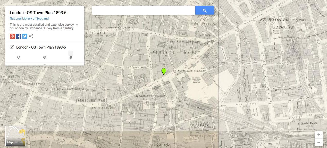
London – OS Town Plan 1893-6. National Library of Scotland. Web. 8 November 2014.